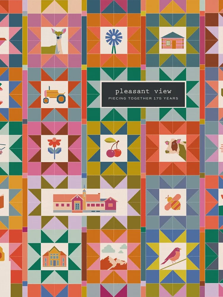
Celebrate 175 years of Pleasant View with this 389-page, full-color commemorative book honoring the people and places that made the city what it is today. Filled with community memories, historic records, and hundreds of images, this tribute was shaped by more than 100 contributors and created as a keepsake that will be treasured for generations to come.
In every corner of Pleasant View, Utah, you can find the marks of history amidst the bright and bustling growth of a thriving modern community. These shadows of a bygone people who carved a legacy into the land and put down strong family roots still remain a lasting and deeply connective element of our city.
Now you have the opportunity to look around Pleasant View with new eyes and see that history come to life. With this interactive map of Pleasant View History, you can discover the sites of early settlements, pinpoint the location of a famous “healing” hot spring, and even uncover the hidden history of homes you see every day in your neighborhood. Click on the map below to explore, selecting any particular site icon to read more about the history of that location.
(Photo is of Earl Cragun, his wife Mildred, and their children)
About This Online Interactive Map
The history of Pleasant View, UT as shown in the below interactive map, was adapted in 2022 from sites identified by Earl Budge Cragun in his 1953 thesis, “A Type Study of Community Backgrounds for Education of Pleasant View, Weber County, Utah.” read the full study here Contributors to this interactive map include Brett Cragun, Shaundra Cragun, Rex Cragun, and other Cragun family members. Locations noted in Earl’s “Type Study… ” were verified and updated so that current residents could relate to their locations. Thanks to all who continue to improve and expand this amazing resource!
Click on the small, yellow icon to read information specific to that site. You can zoom in or out or scroll up and down using the usual methods for Google Maps. Please update us with any correction or additional information by clicking EMAIL US.